Wunderlich was given to San Mateo County in 1974 by Martin Wunderlich. The park may be best enjoyed in autumn.
Getting there:
From I 280 in San Mateo County exit CA 84/Woodside Road (exit 25). Drive west about 3 miles to the signed park entrance (it's a small sign) on the right (west) side of the road
Free Parking, no pet allowed.
5 mile loop hike ( 4 miles, take the shorter option)
Getting there:
From I 280 in San Mateo County exit CA 84/Woodside Road (exit 25). Drive west about 3 miles to the signed park entrance (it's a small sign) on the right (west) side of the road
Free Parking, no pet allowed.
5 mile loop hike ( 4 miles, take the shorter option)
Time: 2- 2.5 hours
more shade than sun
elevation: from 500ft to 1400ft (1200ft take the shorter option)
Hiking directions:0.0: Start at the southern edge of the parking lot, and walk past the portable toilet to the start of signed Alambique Trail, on the left.
0.8: Signed junction with Loop & Meadow Trail. Stay on Alambique Trail.
2.2: Alambique Flat. A rough path heads off to the left, leading to a redwood grove near Alambique Creek. lunch break!! (no picnic table)
After lunch, stay to the right on Alambique Trail.0.8: Signed junction with Loop & Meadow Trail. Stay on Alambique Trail.
2.2: Alambique Flat. A rough path heads off to the left, leading to a redwood grove near Alambique Creek. lunch break!! (no picnic table)
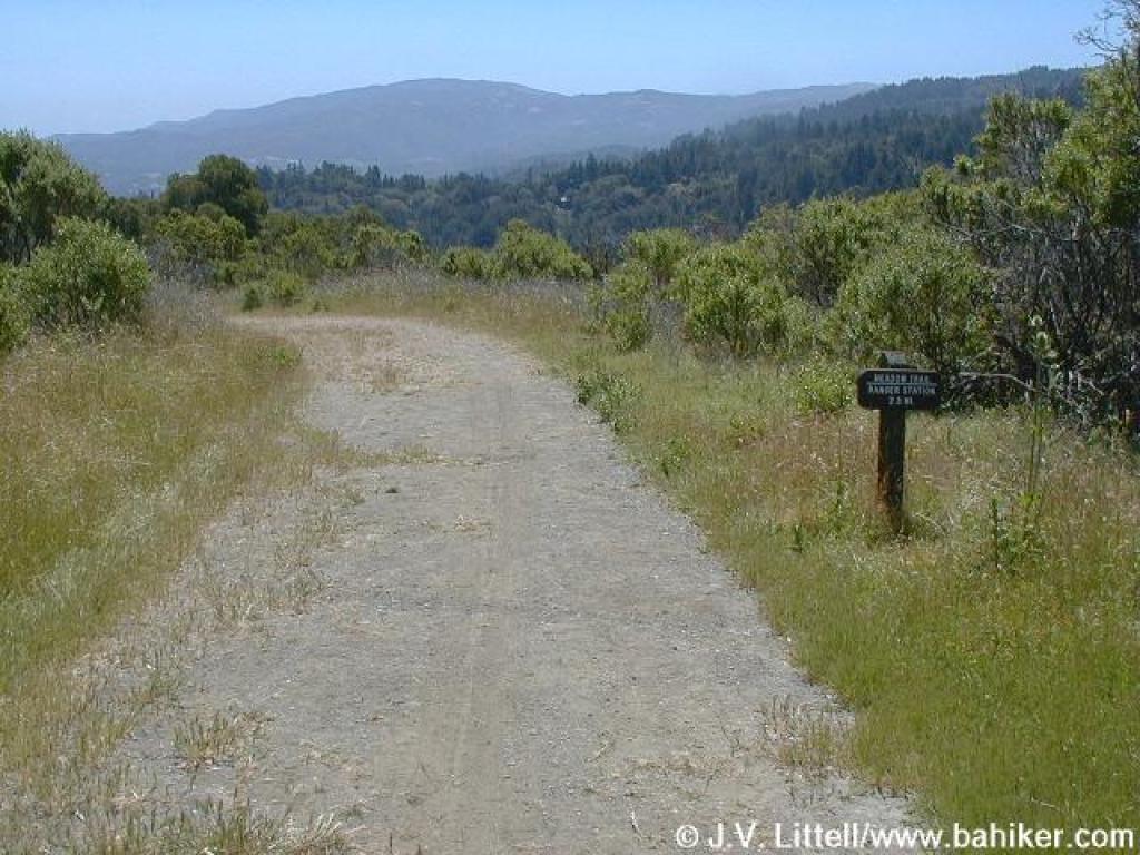
2.3**: Signed junction with Oak Trail. take Oak Trail to Meadow Trail. This option makes the hike one mile shorter.
(Otherwise stay on Alambique Trail.
At 2.46 miles, Alambique Trail continues uphill, while Bear Gulch Trail begins on the right at a signed junction. Turn right onto Bear GulchTrail. 2.5: Signed junction with Bear Gulch Trail. Turn right onto Bear Gulch Trail.2.6: At the far edge of "the Meadows," a signed multiple junction. Turn right onto Meadow Trail.)
3.3: Signed junction with Oak Trail. Stay to the left on Meadow Trail.
3.6: Signed junction with Redwood Trail. Turn left onto Redwood Trail. (Do not miss this turn! Redwood Trail is the highlight of this hike.)3.8: Signed junction with Madrone Trail. Turn right onto Madrone Trail. After a few steps you'll pass Salamander Flat on the left.
4.3: Signed junction with Bear Gulch Trail. Turn right onto Bear Gulch Trail.4.7: Signed junction with Loop Trail. Continue straight on Bear Gulch Trail.
4.9: Just past the stables, the trail ends. Cross the service road and bear left to the parking lot.